MRPT design of map classes
1. Maps in mobile robotics and in MRPT
In mobile robotics, a “map” is any representation of the external world useful for the robot to achieve its tasks. In particular, localization and navigation both require some kind of “map” to refer to places.
At the top conceptual level, maps can be classified as either metrical (i.e. distances, areas) or topological (i.e. just the connectivity between the different areas). MRPT focuses on metric maps.
All metric maps in MRPT inherit from the common interface mrpt::maps::CMetricMap to ease polymorphism and generic programming.
Note
The base virtual class mrpt::maps::CMetricMap is defined in the library mrpt-obs for convenience, but most actual maps are implemented in the library mrpt-maps
2. Why only one map?
To ease even more the implementation of generic mapping or SLAM algorithms, MRPT defines the “multi-metric map”. This class offers the interface of a regular metric map, but it can hold internally an arbitrary number of other metric maps.
To realize of the power and simplicity of this approach, imagine programming a method which insert scans from 3 laser range finders into a 3D point map (so, a point cloud is built incrementally). By just replacing the point map by a multi-metric map, we can now build the point cloud and, at our choice, three occupancy grid maps, once for each height, or an additional 3D octomap, for example.
The original code would need no changes at all.
This is the reason of calling the MRPT map model “hierarchical”, in the sense that one map (the “multi-metric map”) propagates all the calls to its “children maps”.
Localization (e.g. SE(2) or SE(3) particle-filter localization) also benefits from this model, by automatically merging all sources of information from all the metric maps to evaluate the point-wise likelihood function required by this localization approach. In other words: in MRPT you can use either a simple 2D gridmap to localize your robot, or a much richer representation like a 3D point cloud, several 2D grids (e.g. at different heights), a Wi-Fi signal strength map, gas concentration maps, floor reflectivity, or define your own map layer.
3. Metric maps classes
It is recommended to start reading the documentation for the multi-metric map class mrpt::maps::CMultiMetricMap, which enumerates all metric map types and explains the different ways to create and populate a multi-metric map with one or several metric map types.
The most common map types are:
mrpt::maps::CSimplePointsMap: 2D or 3D point clouds of points without any additional annotation or attributes.
mrpt::maps::COccupancyGridMap2D: A planar occupancy grid map for one particular sensor height.
mrpt::maps::COccupancyGridMap3D: 3D occupancy voxel map.
mrpt::maps::COctoMap: For 3D occupancy grids of variable resolution, with octrees (based on the library octomap).
mrpt::maps::CColouredOctoMap: The same than above, but nodes can store RGB data appart from occupancy.
mrpt::maps::CHeightGridMap2D: For elevation maps of height for each (x,y) location (Digital elevation model, DEM)
mrpt::maps::CColouredPointsMap: For point clouds with per-point RGB information.
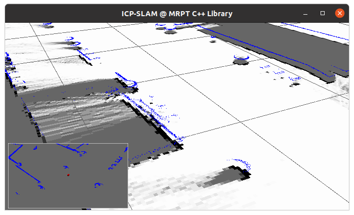
4. Powerful visualization and debugging
All MRPT metric maps, including any combination of them via mrpt::maps::CMultiMetricMap, can be easily visualized in a 3D viewer, either online or offline for posterior debugging.
Since mrpt::maps::CMetricMap inherits from the virtual interface mrpt::opengl::Visualizable all maps expose a method getVisualization() returning a mrpt::opengl::CSetOfObjects::Ptr which can be inserted in a 3D scene for direct visualization or to be saved to disk for posterior inspection with the application SceneViewer3D.
Note
Refer to the tutorial on 3D scenes.
When visualizing a multi-metric map with different map types, they will be all viewed together with the same frame of reference, as in the following example showing a joint mapping of a 3D pointcloud and a 2D gridmaps: